


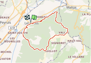

12.1 km | 18.1 km-effort

User GUIDE


FREE GPS app for hiking
 SityTrail
IGN / Geographical institutes
SityTrail World
The world is yours!
Trail Walking of 17.5 km to be discovered at Provence-Alpes-Côte d'Azur, Alpes-de-Haute-Provence, Les Mées. This trail is proposed by Kargil.
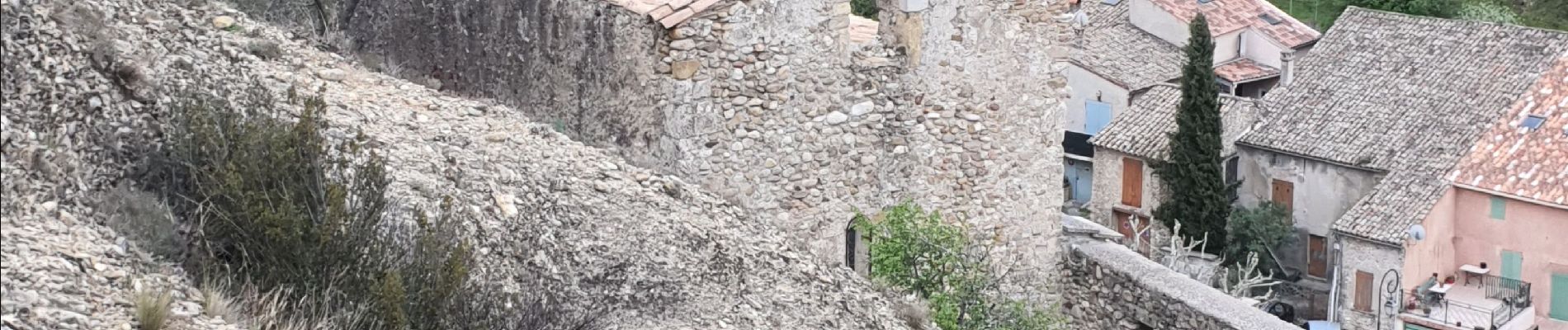
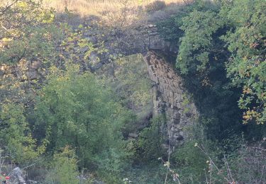
Pas de grosses difficultés. L'arrête des Pénitents ne présente pas de difficulté et du fait d'un sentier assez large, la sensation de vide n'est pas excessive.
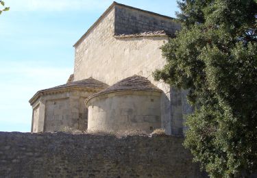
En résumé, les pénitents sont bien plus jolis de loin que de près :).


Walking

Walking

Walking

Walking

Running
Walking
Walking
Walking
On foot